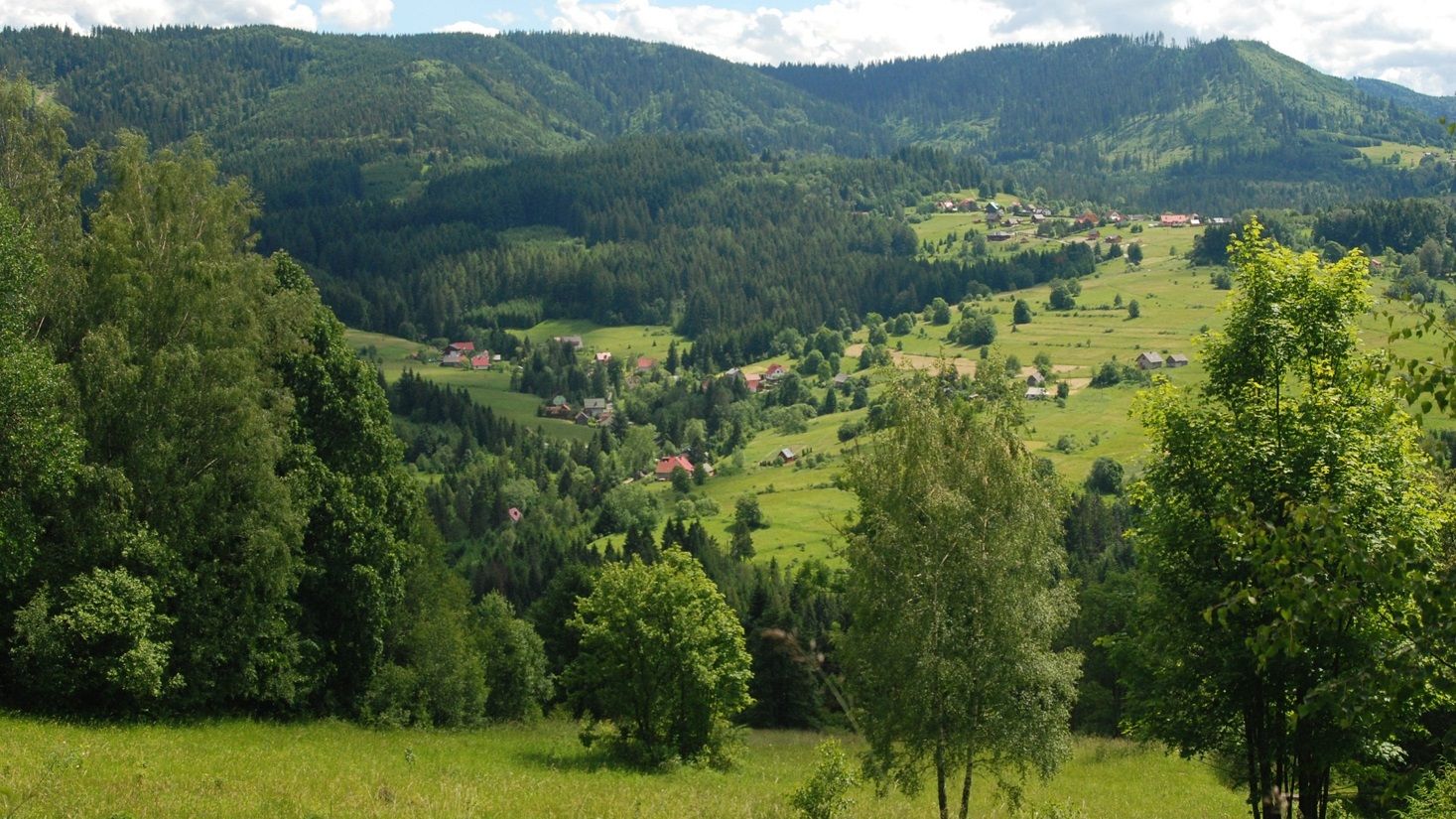
 The Carpathians, photo by Dominik Kaim
The first global Wildland-Urban Interface (WUI) map has just been published by “Nature”. “My role in this research was made possible by the NCN”, says Dr Dominik Kaim, a geographer from the Jagiellonian University, one of the authors of the article.
The Carpathians, photo by Dominik Kaim
The first global Wildland-Urban Interface (WUI) map has just been published by “Nature”. “My role in this research was made possible by the NCN”, says Dr Dominik Kaim, a geographer from the Jagiellonian University, one of the authors of the article.
Wildland-urban interface areas take up less than 5% of the Earth’s land surface, but are inhabited by nearly 3.3 billion people (41% of the world’s population). It is a space where interactions between humans and the environment are particularly intense.
In an article just published in “Nature”, scientists from the US, Israel, Germany and Poland have relied on detailed data to create the first global WUI map. WUIs are particularly widespread in Europe, but research has also identified previously undocumented areas of this kind in, e.g. Eastern Africa, Brazil, and Southeast Asia.
Until now, WUIs have been studied with a focus on fire risk. The new global map of settlement may also have an impact on future research into the effects of contact between domestic animals and wildlife and the penetration of invasive plants grown in house gardens into natural areas.
Dr Dominik Kaim studied the spatial distribution of WUIs in Poland. His results may now be used for spatial planning to minimise conflicts between people and animals and to launch environmental protection campaigns.
“My MINIATURA and SONATA projects, which were funded by the NCN, allowed me to complete international research fellowships at the University of Wisconsin-Madison, as part of a team led by Professor Volker Radeloff, with whom I have studied WUIs for several years now. In addition, the research I have conducted under the SONATA scheme in Poland gave me an opportunity to test the preliminary versions of the global map, which has now been published by “Nature” in its final form”, explains Kaim.