Principal Investigator
:
Prof. dr hab. Krzysztof Sośnica
Wrocław University of Environmental and Life Sciences
Panel: ST10
Funding scheme
: OPUS 18
announced on
16 September 2019
In order to understand and describe the processes of change on our planet, we need to carry out relevant observations and situate them in time and space. Thanks to satellites, we can now learn much more about these phenomena in a continuous and global manner. Observing changes in sea level requires precise measurements, down to the last millimetre, since they occur at a rate of 3-4 mm/year. The same holds true for magnetic pole shifts, irregularities in the Earth’s rotation, the flattening of the Earth, and changes in its centre of mass; all these phenomena require millimetre-range precision.
 fot. M. Łepecki, prof. dr hab. Krzysztof Sośnica
Until now, observations from satellites at different orbits were all analysed separately. In our project, data from low-, medium-, and high-orbit satellites are integrated by ground-based laser stations that also carry out distance measurements. Low-orbit satellites monitor the level of seas and oceans (so-called altimetry satellites, such as, e.g. Jason-3, Sentinel-6), changes in the Earth’s gravitational field (gravimetry satellites, e.g. GRACE), space weather and the Earth’s magnetic field (SWARM satellites). Medium-orbit satellite geodesy allows us to locate the centre of the Earth, determine the gravitational constant and study relativistic effects (LAGEOS, LARES). Lastly, high-orbit satellites are used for the purposes of navigation and positioning, as well as for placing geodetic control networks (e.g. GPS and Galileo). Unfortunately, GPS satellites are fitted with laser measurement devices, in contrast to the Galileo system currently under construction in Europe, in which all satellites allow the combination of microwave and laser observations on board space ships. Because of their inconsistent reference system, analysing different satellite missions separately has often led to errors.
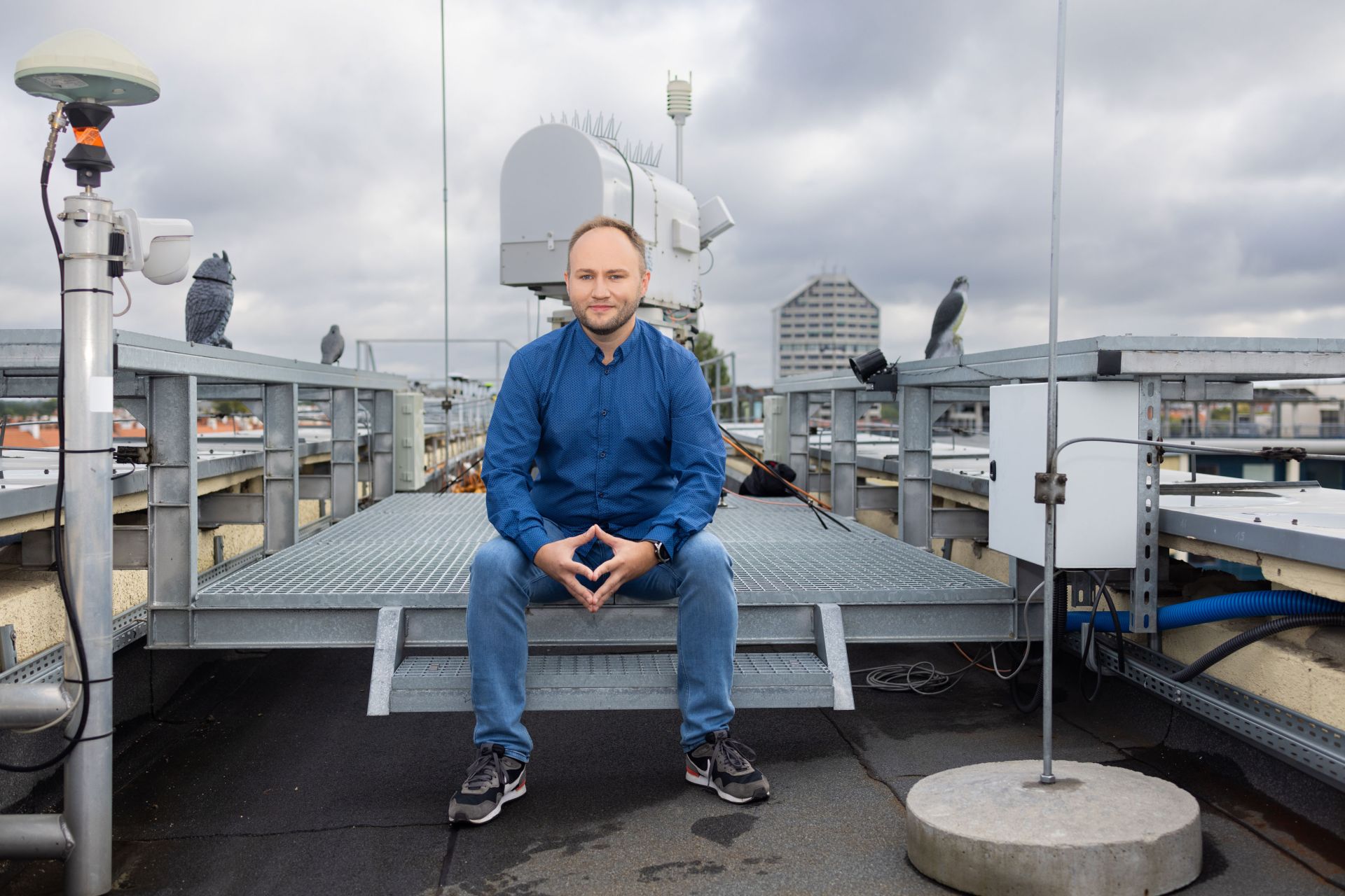
Laser measurements of distance to various satellites on orbits at different altitudes are integrated in an OPUS project entitled “Integrated terrestrial reference systems based on laser measurements of distance to geodetic, teledetection and GNSS satellites”. Laser measurements are carried out at ground-based stations, which send very short laser pulses to the satellite, which then bounce off and return to the detector. By measuring the time it takes for a pulse to make a round trip from the station to the satellite and back, it is possible to calculate the distance between them. Laser observations need to be corrected for measurement errors and beam refraction in the atmosphere, which is also addressed by the project. The project was the first to develop laser-based terrestrial reference systems to different satellites placed at different orbits. This has allowed us to create terrestrial reference systems necessary to study the terrestrial phenomena observed by satellites.
 fot. M. Łepecki, prof. dr hab. Krzysztof Sośnica
Another objective of the project is to conduct simulations of future satellite geodesy missions in order to answer the following question: Where should future satellites be placed to maximise the precision of their observations? At what altitude? At what angle relative to the plane of the Equator? On circular or elliptical orbits?
The project and its preliminary results have already attracted the attention of the European Space Agency (ESA). The ESA awarded the first prize to our presentation on integrated microwave and laser observations on board Galileo satellites during the International Colloquy on Scientific and Fundamental Aspects of GNSS. The preliminary results of our project will play a key role in future satellite missions, as they will help in the spatial localisation of all the terrestrial phenomena that require millimetre-range precision.
Project title: Integrated terrestrial reference frames based on SLR measurements to geodetic, active LEO, and GNSS satellites
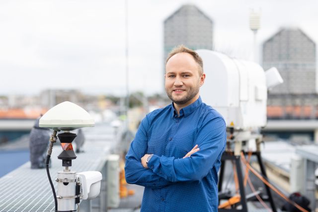
Prof. dr hab. Krzysztof Sośnica
Professor Sośnica earned his PhD in physics and astronomy in 2014 at the University of Bern, Switzerland. He got his habilitation degree in 2016 in geodesy and cartography, followed by the title of professor in 2020. He works at the University of Life Sciences in Wrocław. His research focuses on integrating the laser measurements of distance to satellites with data from Global Navigation Satellite Systems (GNSS).